The Galapagos Islands (in Spanish "Archipiélago de Colónare") are one of the most famous and inviting tourist destinations in the world. Their isolated location 972 km off the coast of Ecuador prevent many travelers from visiting, but those people are missing out on spectacular wildlife and natural equatorial beauty.
The Galapagos are a volcanic archipelago lying near the equator. The volcanic activity has resulted in an incredibly lush, fertile environment. The archipelago is a province of Ecuador, and has a population of 40,000 people. It consists of 13 main islands, 6 smaller islands, and 107 rocks and islets. It covers 7880 square km of land, spread over an ocean area of 45,000 square km.
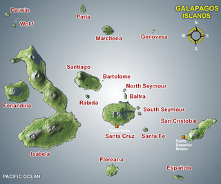
Galapagos Island tours are one of the highlights of a trip to Ecuador, and South America in general. Here are some of the best map of Galapagos Islands to assist you in your planning for your travel.
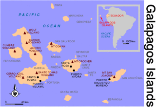
On this map, Galapagos Islands are shown in relation to Ecuador's location.
Here is a topographic map of the volcanic archipelago.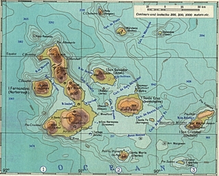
Here is a useful map of Galapagos Islands diving spots, with water depths.

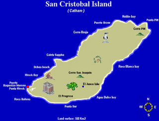
In this map, San Cristobal Galapagos Island is shown. This is one of the most popular travel destinations in the archipelago.
I hope you could find a useful map. Galapagos Islands are a place not to be missed. To learn more about the wildlife and animals of the Galapagos, visit http://south-america-travel-tips.com.