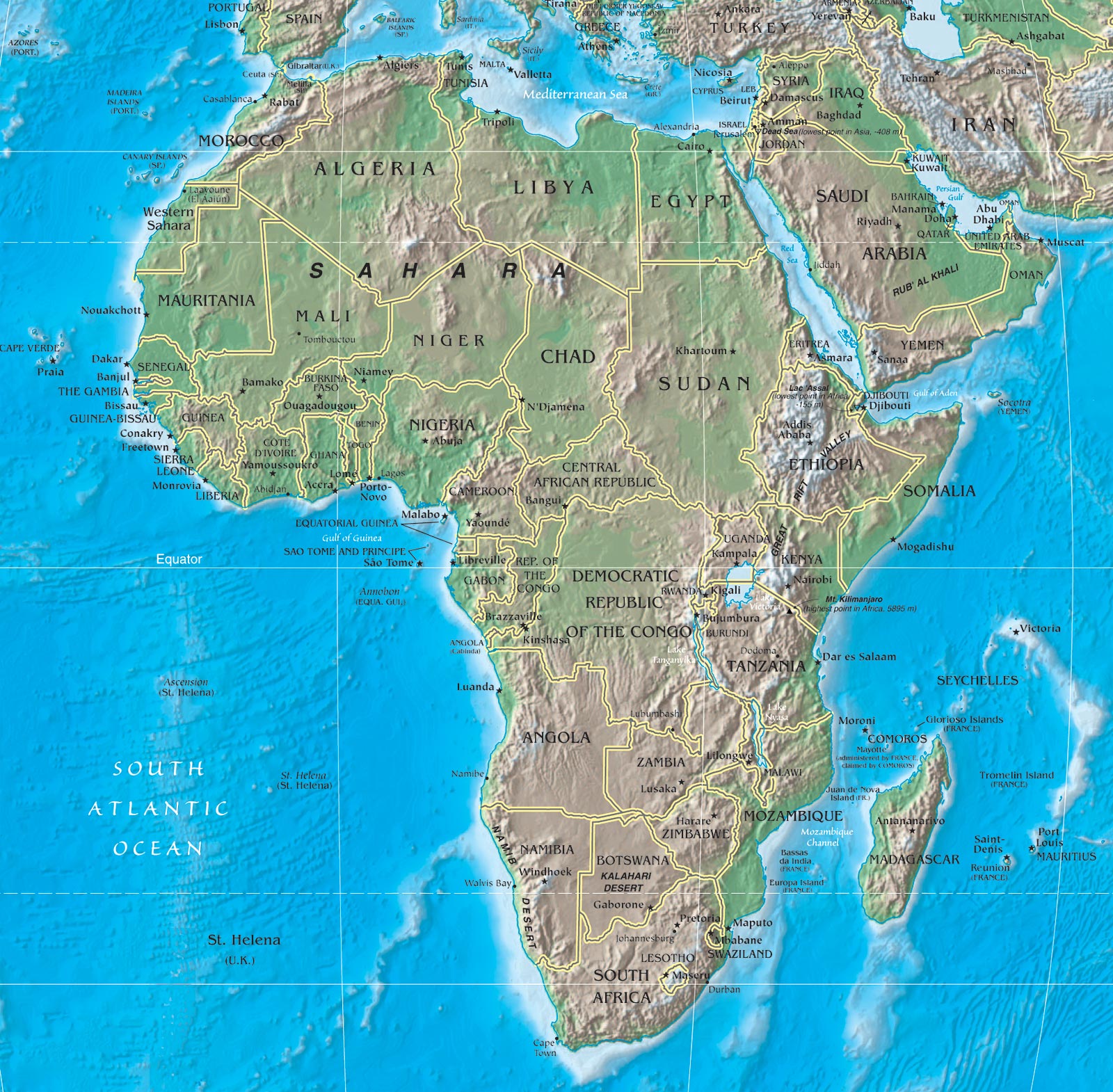
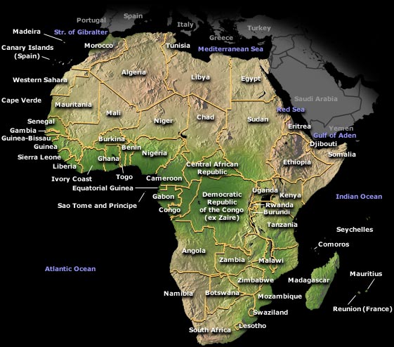
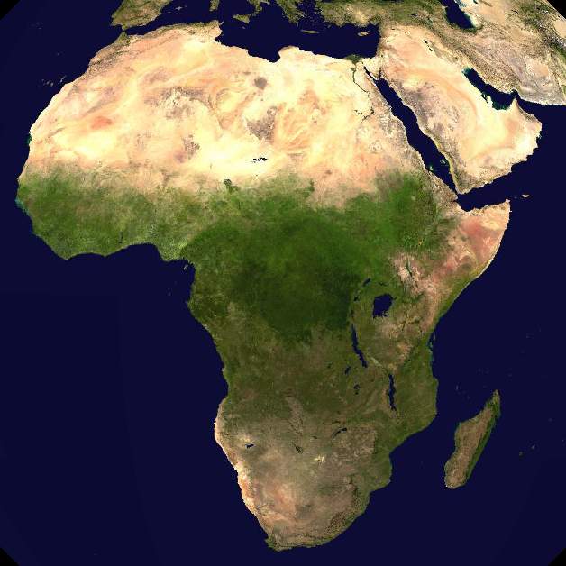
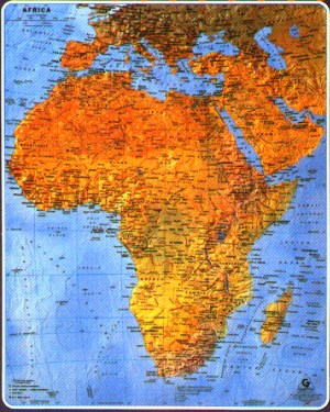
Here you can find a downloadable Africa physical features map, showing the elevations and vegetation of the African continent.
Africa is 30.2 square kilometers in area (11.7 million square miles), making it the second largest continent. It covers approximately 6% of the Earth's surface, and just over 20% of it's total land area. To its north lies the Mediterranean Sea, to its northeast lies the Red Sea extending down to the horn of Africa, to its southeast lies the Indian Ocean, and to its west lies the Atlantic Ocean.

We hope you found these Africa physical map downloads helpful and we encourage you to bookmark and check back for frequent updates.
Note that some of these maps have been shrunken so that they fit into the allotted space, but when you download them they should be full size.