If you are looking for an ancient map of Japan, you can find a few here. I'm no expert on pre-Meiji Restoration Japan, so I won't B.S. about old Japanese history. But I do work in Nara prefecture, which used to be called "Yamato" province and was the center of rule in Japan for several hundred years in ancient times, from approximately 250 CE to 710 CE. So while I don't know the history in detail, I do walk in the footsteps of that history every day. (^-^)
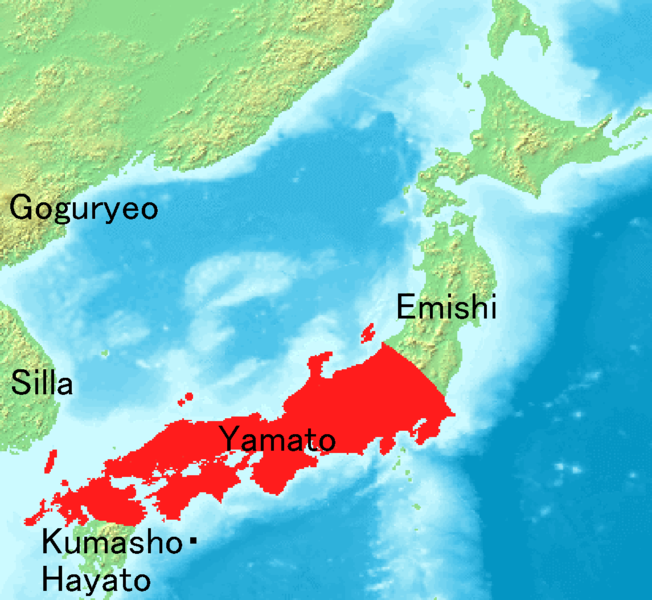
Map of Japan in the 7th century during the Yamato Period, when Japan was ruled form Yamato province (in present-day Nara prefecture).
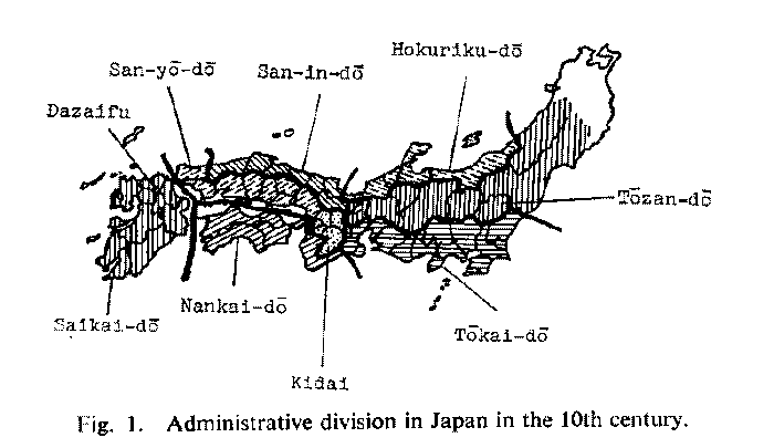
Map of Japan's administrative areas in the 10th century.
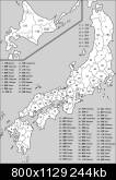
A thorough map of the provinces of ancient Japan in the Sengoku Jidai, "The Warring State Period".
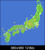
Here's another great map of Japan in the sengoku jidai, but it is labelled entirely in Japanese characters.
I hope you found an ancient map of Japan that was suitable for your needs. Please feel free to have a look at the other map collections I have posted. I post new map collections almost every day, so check back often! See you soon.