With a population of over 7 million, Baghdad is the capital and largest city in Iraq. It is also the second largest city in the Middle East (after Tehran), and also the second largest city in the Arab world (after Cairo, Egypt). 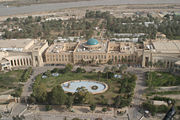
The infamous Tigris River runs through the middle of the city. Baghdad has a basically hot desert climate, with summer high temperatures averaging in the 40s, and temperatures break 50 degrees fairly often. In the winter, the climate is milder with average highs of 15-16 degrees, and nighttime temperatures that average as low as 4 degrees centrigrade. On January 11th, 2008 snow fell in Baghdad. This is not common, but happens on rare occasions.
Of course Baghdad is now under American military administration, and keeps its headquarters in a 10 square km (4 square mile) fortified area called The Green Zone.
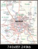
Here are a few city map. Baghdad is a fascinating and exciting city, and I hope it will be possible to travel there in the future.
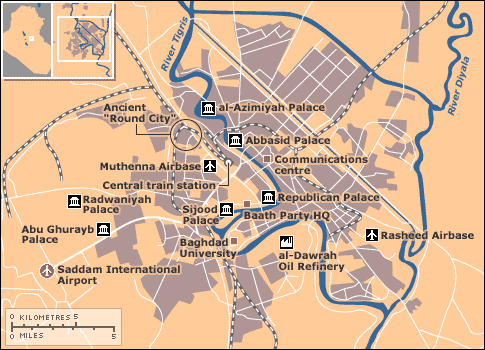
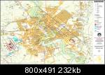
This is perhaps the most current and relevant city map of Baghdad Iraq, showing the US controlled Green Zone and attack hotspots in the city center.
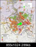
I hope you found a useful city map baghdad. If you are going there for work or military service, I hope you'll be cautious and keep safe. And please use these maps only for general information. Make sure you get an official and recent map to follow while in Iraq.


