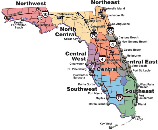
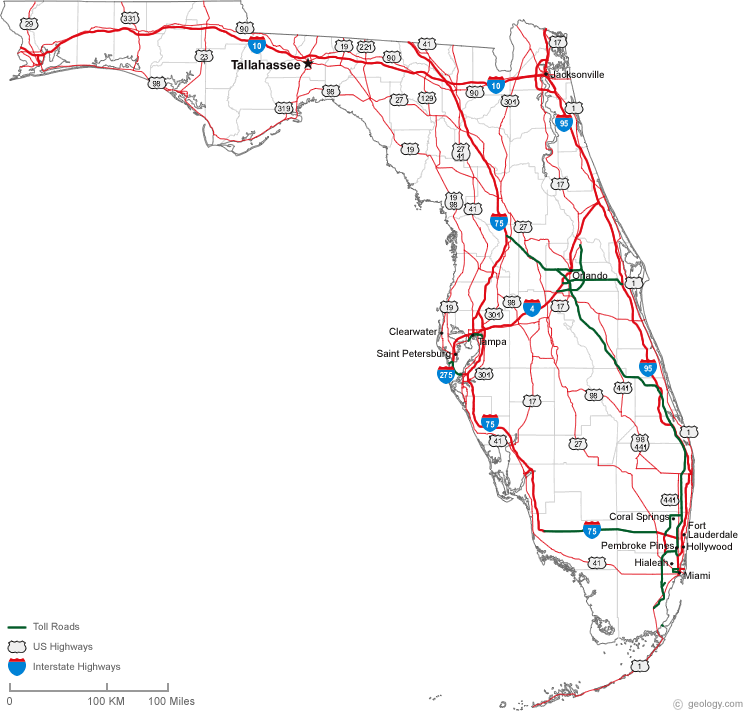
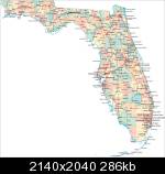
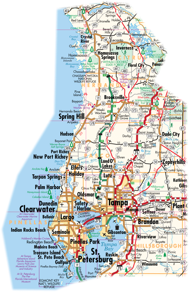
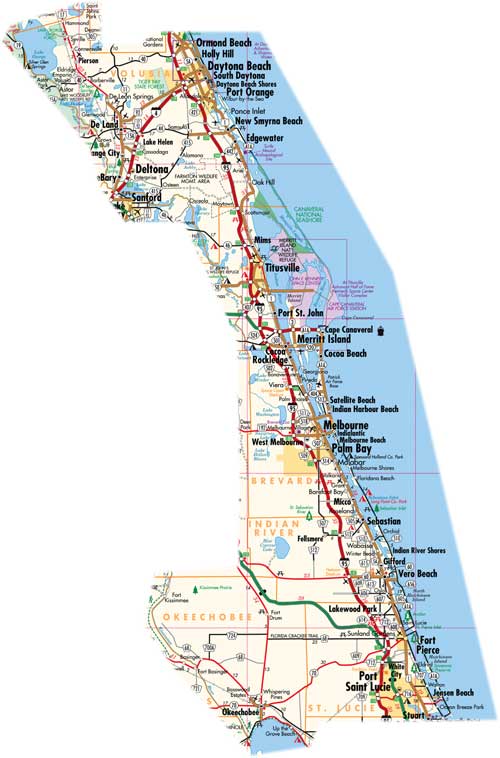
Here you can find Florida State Road Map files for free download. We hope they're hopeful during your travels!
Florida is located in the southeastern United States. To it's northwest lies Alabama, and to its northeast lies Georgia. Most of the state is a peninsula extended south with the Gulf of Mexico to the west, and the Atlantic Ocean to the east. Central and northern Florida are subtropical in climate while Southern Florida is tropical.
Florida extends 447 miles (721 km) from north to south, and is 361 miles (582 km) wide at its widest point.