Al Asad is the largest coalition military base and airbase in Western Iraq, located in Al Anbar Province. "Al Asad" means "The Lion" in Arabic.
The base is secured by a 21 km security perimeter, with a city-like self-contained community inside, much like Baghdad's Green Zone (I've never been there, but this is what I understand from reading about it). It contains the conveniences of a regular American town, such as famous fastfood restaurants and theaters.
Because of its large size and high level of security, it is often visited by celebrities, entertainers, and members of the US administration.
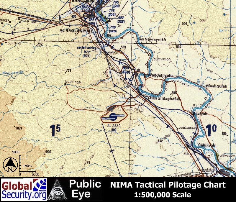
Below you can find a map of Al Asad Iraq. If you know of a more detailed, better map please let me know and I will add it. I haven't found a close-up detailed one--maybe they're not released for security reasons.
This first map show's Al Asad's location in Iraq.
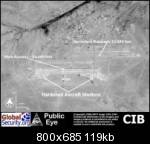
This is a map of Al Asad, Iraq labelled in Russian.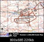
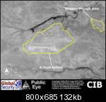
I hope these map of Al Asad Iraq images were useful. Be sure to check back often for future map collections and geographic profiles.