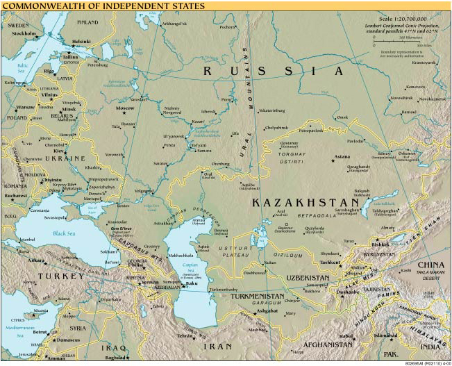
When the Soviet Union was dissolved in 1991, it was succeeded by an organization called the Commonwealth of Independent States, which is a loose economic confederation rather than a unified country with a single ruling authority.
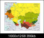
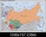
Below you can find several map of Russia and the Black Sea, with the former Soviet Republics alongside them. The member states of the Commonwealth of Independent States are Armenia, Azerbaijan, Kazakhstan, Kyrgyzstan, Moldova, Turkmenistan, Tajikistan, Uzbekistan, Georgia, Ukraine, Belarus, and Russia. However, Ukraine has never ratified the CIS charter, so its membership is unofficial.
Russia, with a land mass of 17,075,400 square kilometers, is the largest country in the world. It covers more than an eighth of the Earth’s total land area. It has a population of 142 million people, making it the 9th most populous country in the world. Did you know that Russia spans 11 time zones?!
The Black Sea is a large inland sea with an area of 436,400 km² (168,495 sq mi), forming a natural boundary between Europe and Western Asia. The Bosphorous Strait and The Strait of Dardanelles are considered the border between European Turkey and Asian Turkey.
I hope you found the above map of Russia and the Black Sea, and Commonwealth of Independent States useful. Be sure to check back for more map collections and geographic profiles in the near future!