Free Printable Maps: South America Physical Map

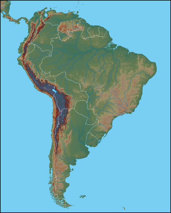
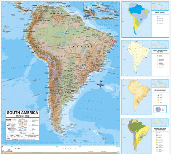
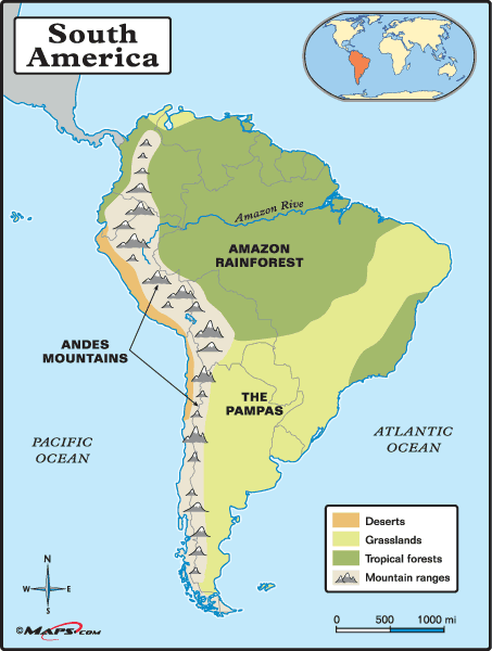
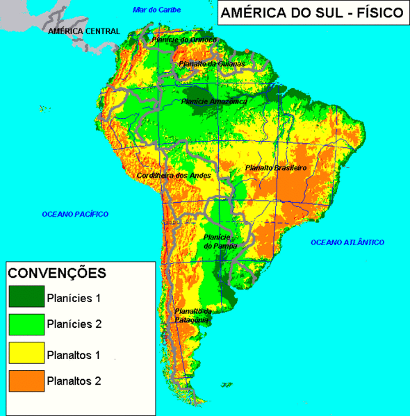
South America is a continent located in the Western Hemisphere, and mostly in the Southern Hemisphere. To the west lies the Pacific Ocean, to the northeast lies the Atlantic, and to the northwest lies the Caribbean Sea.

Some of South America's geographical details include the Amazon Rainforest, the Andes Mountains, and the Pampas grasslands. The Amazon River is the world's largest river measured by volume of water.

Satellite image South America physical map showing elevations with no country labelling.

Detailed map of South American physical features like elevations show, but also political info and boundaries.

Physical map of South America very detailed, showing The Amazon Rainforest, The Andes Mountains, The Pampas grasslands, and the coastal desert.

Detailed physical map of South America in Spanish with elevations and regions labelled.

Download More Coloring Pages